You count on advanced systems for safe flying. The aviation world has greatly improved. It uses GPS navigation and radar technology for better aviation safety.
GPS and radar guide airplane across the sky
As more people fly, precise flight navigation systems are key. Air traffic control is essential. It helps manage air traffic, making sure airplanes are safely guided through busy skies.
Key Takeaways
- GPS navigation enhances aviation safety.
- Radar technology improves air traffic management.
- Advanced flight navigation systems reduce the risk of accidents.
- Air traffic control relies on accurate navigation data.
- Effective navigation systems are critical for safe air travel.
The Evolution of Aviation Navigation
Aviation navigation has changed a lot over time. At first, pilots used visual flight rules. They navigated by landmarks and what they could see.
From Visual Flight to Electronic Navigation
The shift to electronic navigation was a big step forward. Early methods were simple and not always reliable.
Early Navigation Methods
Pilots first used visual references like landmarks and rivers. But, this method had its limits. It didn’t work well in bad weather or new places.
The Introduction of Radio Navigation
Radio navigation changed everything. NDB and VOR let pilots know where they were and where they were going.
Key Milestones in Aviation Navigation Technology
Aviation navigation has seen many important changes. The introduction of VOR and ILS was a big deal.
The Development of VOR and ILS Systems
VOR helped pilots find their way, while ILS made landings safer. These systems made flying more accurate and safe.
Transition to Satellite-Based Navigation
The move to satellite-based navigation, like GPS, was huge. The FAA says GPS has made navigation much better.
| Navigation System | Key Features | Impact on Aviation |
| VOR | Bearing information, radial navigation | Improved navigation accuracy, enhanced safety |
| ILS | Precision landing guidance, glide slope information | Enabled safe landings in low visibility conditions |
| GPS | Global positioning, precise location and velocity information | Revolutionized navigation, improved accuracy and efficiency |
aviation navigation technology
Understanding Radar Technology in Aviation
Radar technology is key to navigating today’s aviation world. It ensures air travel is safe and efficient. The Federal Aviation Administration (FAA) requires radar for air traffic control, showing its critical role.
How Radar Works: Basic Principles
Radar systems send out radio waves and catch the echoes from objects. This involves two main steps: sending out waves and catching the echoes.
Radio Wave Transmission and Reception
Radar sends radio waves into the air. These waves bounce off objects and come back to the radar. The system then figures out where, how fast, and in which direction the objects are moving.
Target Detection and Tracking
The radar system tracks targets by analyzing the echoes. This info helps air traffic control manage flights well.
Types of Aviation Radar Systems
Aviation radar systems come in different types, each for a specific job. The main ones are:
- Primary Surveillance Radar (PSR): Uses radio waves to detect and track aircraft.
- Secondary Surveillance Radar (SSR): Uses aircraft transponders for ID and altitude info.
- Weather Radar Systems: Detects weather like rain and turbulence.
radar technology
Radar Limitations and Challenges
Radar systems face some big challenges. Two major ones are seeing through obstacles and dealing with signal interference.
Line-of-Sight Restrictions
Radar can’t see through things like mountains or buildings. This limits how well it works.
Signal Interference and Clutter
Signals can get mixed up by other radars, weather, or gadgets. This makes it hard to see targets clearly.
The Global Positioning System (GPS) Revolution
GPS technology has changed the aviation world. It makes flying more precise and efficient. The Global Positioning System (GPS) is key in modern aviation. It gives pilots accurate and reliable navigation info.
GPS Fundamentals for Aviation
GPS uses a network of satellites around Earth. Ground and air receivers figure out their spot by the signals from these satellites. They use trilateration to find their location by measuring distances to multiple satellites.
Trilateration and Position Calculation
Trilateration measures the time delay of signals. This lets the receiver calculate the distance from the satellite. With three satellites, it can find its position in space.
GPS Signal Structure
The GPS signal has pseudorange measurements and navigation data. Pseudorange measurements find the distance to satellites. Navigation data gives info on satellite locations and clock corrections.
Satellite Constellation and Coverage
The GPS system is run by the United States Air Force. It has a global satellite network. The satellites are in medium Earth orbit, ensuring coverage everywhere.
Orbital Arrangement and Maintenance
The satellites are spread out for global coverage. They’re in multiple planes for redundancy. This keeps the system working even if some satellites fail.
Global Coverage Capabilities
GPS offers global navigation. It lets aircraft navigate anywhere, no matter the weather.
GPS Accuracy and Reliability in Flight
GPS is very accurate but can be affected by things like ionospheric delays. Augmentation systems help improve its accuracy and reliability.
Factors Affecting GPS Precision
Things like ionospheric delays and satellite geometry can impact GPS accuracy. Knowing these factors helps improve navigation.
Augmentation Systems for Enhanced Accuracy
Systems like WAAS (Wide Area Augmentation System) in the U.S. boost GPS accuracy. They make GPS navigation more reliable and accurate for aviation.
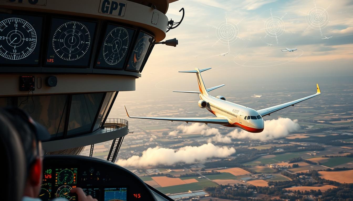
How GPS and Radar Guide Airplanes Across the Sky
As you fly, GPS and radar help guide your plane to its destination. Modern planes use both GPS and radar for navigation. This gives pilots a clear view of their surroundings.
The Complementary Relationship Between GPS and Radar
GPS and radar work together to improve navigation accuracy. This teamwork is key for safe and efficient flying.
Integration of Multiple Navigation Systems
Using GPS and radar together means checking navigation data twice. This is very important, mainly when flying in bad weather.
Cross-Verification and Data Fusion
By combining data from different systems, pilots get a more accurate picture of their flight. This makes navigation more reliable and accurate.
Navigation During Different Flight Phases
GPS and radar are vital in all flight stages. They help with takeoff and departure, en route navigation, and approach guidance.
Takeoff and Departure Procedures
GPS and radar help pilots during takeoff. They give accurate info on position and speed. This is key for safe takeoff and avoiding other planes.
En Route Navigation
- GPS and radar help pilots stay on course.
- They keep updating on the plane’s location, height, and speed.
Approach and Landing Guidance
GPS and radar offer precise guidance for landing. They help pilots navigate through tough weather and air traffic. This ensures a safe landing.
Air Traffic Control Systems and Operations
Air traffic control is often overlooked but it’s key to air travel safety. It manages air traffic flow, prevents collisions, and sequences aircraft for landing.
The Role of ATC in Aircraft Navigation
ATC guides pilots with clearances, instructions, and advisories. It ensures traffic separation and flow management to avoid collisions and reduce delays.
Traffic Separation and Flow Management
Traffic separation keeps aircraft at safe distances. Flow management directs air traffic efficiently to their destinations.
Coordination Between ATC Facilities
Coordination between ATC facilities is key for managing air traffic across regions and airspaces.
Communication Between ATC and Aircraft
Effective communication between ATC and aircraft is vital for safe air travel. Standardized voice communication protocols and digital data link systems are used.
Voice Communication Protocols
Voice protocols use standardized language and procedures for ATC and pilot communication.
Digital Data Link Systems
Digital data link systems transmit information electronically between ATC and aircraft. This reduces voice communication reliance.
Handling High-Traffic Airspace
Managing high-traffic airspace is complex. It requires careful planning and coordination. This includes managing terminal control areas and sequencing arrivals and departures.
Terminal Control Areas
Terminal control areas are designated around airports. ATC manages air traffic in these areas.
Arrival and Departure Sequencing
Sequencing arrivals and departures coordinates aircraft movements. This minimizes delays and prevents conflicts.
| Air Traffic Control Function | Description |
| Traffic Separation | Maintaining safe distances between aircraft |
| Flow Management | Directing air traffic efficiently to destinations |
| Coordination Between Facilities | Managing air traffic across regions and airspaces |
“The safety of the aircraft and its occupants is the utmost priority in air traffic control.”
Modern Cockpit Navigation Systems
Exploring the modern cockpit reveals advanced navigation systems that change aviation. These systems make flying safer and more efficient.
Flight Management Systems (FMS)
Flight Management Systems (FMS) are key in modern cockpits. They help with route planning and optimization, making the best flight paths.
Route Planning and Optimization
FMS plans routes carefully, considering weather, air traffic, and how the plane performs.
Performance Calculations and Monitoring
The system keeps an eye on the plane’s performance. It gives updates on fuel use, altitude, and speed in real-time.
Electronic Flight Instrument Systems (EFIS)
Electronic Flight Instrument Systems (EFIS) show pilots important flight data through advanced displays.
Primary Flight Displays
Primary Flight Displays show vital info like altitude, heading, and airspeed clearly.
Navigation Displays and Moving Maps
Navigation Displays have moving maps. They show where the plane is in relation to its surroundings, helping pilots stay aware.
Heads-Up Displays and Advanced Visualization
Heads-Up Displays (HUDs) and advanced visualization improve navigation. They give pilots a clear view of their surroundings.
Augmented Reality in Navigation
Augmented reality is being used in navigation systems. It adds important info to what pilots see.
Synthetic Vision Systems
Synthetic Vision Systems create a 3D view of the terrain. This helps pilots see better in low light.
The table below shows the main features and benefits of modern cockpit navigation systems:
| System | Key Features | Benefits |
| FMS | Route planning, performance calculations | Enhanced efficiency, reduced fuel consumption |
| EFIS | Primary flight displays, navigation displays | Improved situational awareness, reduced pilot workload |
| HUDs & Advanced Visualization | Augmented reality, synthetic vision | Enhanced visibility, improved safety in low-light conditions |
International Standards and Regulatory Framework
The international standards and regulatory framework are key to ensuring air navigation safety and efficiency worldwide. The International Civil Aviation Organization (ICAO) leads in setting these global standards.
ICAO Navigation Standards
ICAO establishes global navigation standards, including Required Navigation Performance (RNP). RNP ensures aircraft can navigate safely and efficiently. It outlines the navigation performance needed for aircraft to operate in specific airspaces.
Required Navigation Performance (RNP)
RNP is a vital part of modern navigation. It allows aircraft to follow precise routes and approaches. It relies on the accuracy and integrity of navigation data.
Global Harmonization Efforts
ICAO also works on global harmonization. This ensures navigation standards are consistent worldwide. It makes international air travel seamless.
FAA Regulations for Navigation Equipment
In the United States, the Federal Aviation Administration (FAA) regulates navigation equipment. It ensures the equipment meets strict safety and performance standards.
Certification Requirements
The FAA sets certification requirements for navigation equipment. It verifies that the equipment performs as expected under various conditions.
Operational Approvals
The FAA also grants operational approvals. This allows the use of specific navigation equipment in commercial and private aviation operations.
Differences in Regional Navigation Requirements
While ICAO sets global standards, regional differences exist. For example, Europe and the Asia-Pacific region have their own regulations.
European Standards
European aviation authorities have implemented regulations that complement ICAO standards. They address regional needs.
Asia-Pacific Regulations
The Asia-Pacific region also has its own regulations. They are tailored to the unique demands of the region’s airspace.
| Region | Regulatory Body | Key Standards |
| Global | ICAO | RNP, Global Harmonization |
| United States | FAA | Certification Requirements, Operational Approvals |
| Europe | EASA | European Standards |
| Asia-Pacific | APAC Authorities | Asia-Pacific Regulations |
The Future of Aircraft Navigation Technology
Aircraft navigation technology is on the verge of a big change. This is thanks to new satellite tech and better data analysis. The Federal Aviation Administration (FAA) is working on the Next Generation Air Transportation System (NextGen). This aims to make flying safer, more efficient, and better for the environment.
Next-Generation Air Transportation System (NextGen)
NextGen is a major update to the US air travel system. It focuses on safety, efficiency, and being kinder to the planet. Two key parts of NextGen are Automatic Dependent Surveillance-Broadcast (ADS-B) and Performance-Based Navigation (PBN).
ADS-B Implementation and Benefits
ADS-B is a new way to track planes. It gives pilots and air traffic controllers exact locations. This makes flying safer and cuts down on delays.
Performance-Based Navigation (PBN)
PBN lets planes fly through tricky airspace more easily. It uses advanced tech to cut down on fuel use and make flying more efficient.
Satellite-Based Augmentation Systems (SBAS)
SBAS, like WAAS in the US and EGNOS in Europe, boost GPS signals. This makes navigation more accurate and reliable.
Wide Area Augmentation System (WAAS)
WAAS corrects GPS signals in US airspace. This improves navigation for planes flying there.
European Geostationary Navigation Overlay Service (EGNOS)
EGNOS is Europe’s SBAS. It does the same thing as WAAS but for European skies.
Autonomous Navigation Capabilities
The future of flying includes planes that can navigate on their own. This includes using machine learning and fewer crew members. It’s all about making flying safer and more efficient.
Machine Learning Applications
Machine learning is being used to analyze big data. It helps predict problems and find the best flight paths.
Reduced Crew Operations
Using tech to fly with fewer crew members is being explored. It could save money and make flying more efficient.
How Navigation Technology Enhances Flight Safety
Aircraft rely on a complex network of navigation systems to safely navigate the skies. These systems are key to modern aviation, making flights safer. They prevent accidents and ensure smooth operations.
Collision Avoidance Systems
Collision avoidance systems are vital in preventing mid-air collisions and controlled flight into terrain (CFIT). These systems include:
Traffic Alert and Collision Avoidance System (TCAS)
TCAS is required by the FAA and warns pilots of possible collisions with other planes. It works on its own, using signals from nearby planes to detect threats.
Ground Proximity Warning Systems (GPWS)
GPWS alerts pilots if they’re flying too close to the ground or mountains. This helps prevent CFIT accidents. Modern GPWS systems use terrain databases and GPS for accurate warnings.
Precision Approaches in Low Visibility
Precision approaches allow pilots to land safely even in low visibility. They use advanced navigation aids.
Category I, II, and III Approaches
Category I, II, and III approaches vary in precision needed, with Category III for the lowest visibility. They require specific equipment and procedures.
Required Visual References
Pilots must see certain visual references before landing. These can include the runway threshold or centerline. The references needed depend on the approach category.
Emergency Navigation Procedures
In emergencies, pilots must use alternative navigation procedures. This includes:
Navigation System Failures
If a navigation system fails, pilots follow established procedures. This might involve using backup systems or other navigation methods.
Diversion Decision-Making
Pilots must quickly decide to divert to an alternate airport in emergencies. They assess the situation, evaluate options, and declare an emergency if needed.
| System | Purpose | Key Features |
| TCAS | Collision Avoidance | Independent operation, transponder signals |
| GPWS | Terrain Avoidance | Terrain database, GPS data |
| Precision Approaches | Safe Landing in Low Visibility | Category I, II, III approaches, required visual references |
Conclusion: The Invisible Infrastructure Keeping You Safe in the Skies
When you travel around the world, you rely on GPS and radar to stay safe. These technologies guide planes through different stages of flight. They show how humans have innovated to keep flying safe.
GPS and radar work together to help pilots know where they are and what’s around them. This teamwork helps pilots avoid dangers and fly smoothly, even in bad weather.
Learning about GPS and radar helps us see how advanced flying has become. As flying gets more complex, these systems are key to keeping everyone safe. They are essential for the safety of the skies.
FAQ
How do GPS and radar work together to guide airplanes?
GPS and radar systems help pilots in different ways. GPS gives exact location data. Radar shows air traffic and weather around the plane.
What is the role of air traffic control in aircraft navigation?
Air traffic control manages air traffic flow. They give clearances and guide planes during takeoff, landing, and flying.
What are the different types of radar systems used in aviation?
Aviation uses Primary Surveillance Radar (PSR), Secondary Surveillance Radar (SSR), and weather radar. Each has its own purpose.
How does GPS technology enhance navigation accuracy?
GPS gives precise location data. This makes navigation more accurate and less dependent on old aids.
What are the benefits of modern cockpit navigation systems?
Modern systems like Flight Management Systems (FMS) and Electronic Flight Instrument Systems (EFIS) improve pilot awareness. They also make flying easier.
How do international standards and regulations impact aviation navigation?
International rules, set by ICAO, ensure navigation is consistent and safe worldwide.
What is the significance of collision avoidance systems in aviation?
Systems like TCAS and GPWS warn pilots of dangers. This lowers accident risk.
How do navigation systems support precision approaches in low visibility?
Systems like GPS and ILS help with safe landings in bad weather. They make precision approaches possible.
What is the future of aircraft navigation technology?
Future tech includes better GPS, radar, and automation. New tech like ADS-B and SBAS will also be integrated.
How do GPS and radar guide airplanes across the sky?
GPS and radar give pilots the info they need. This makes flying safe and efficient.